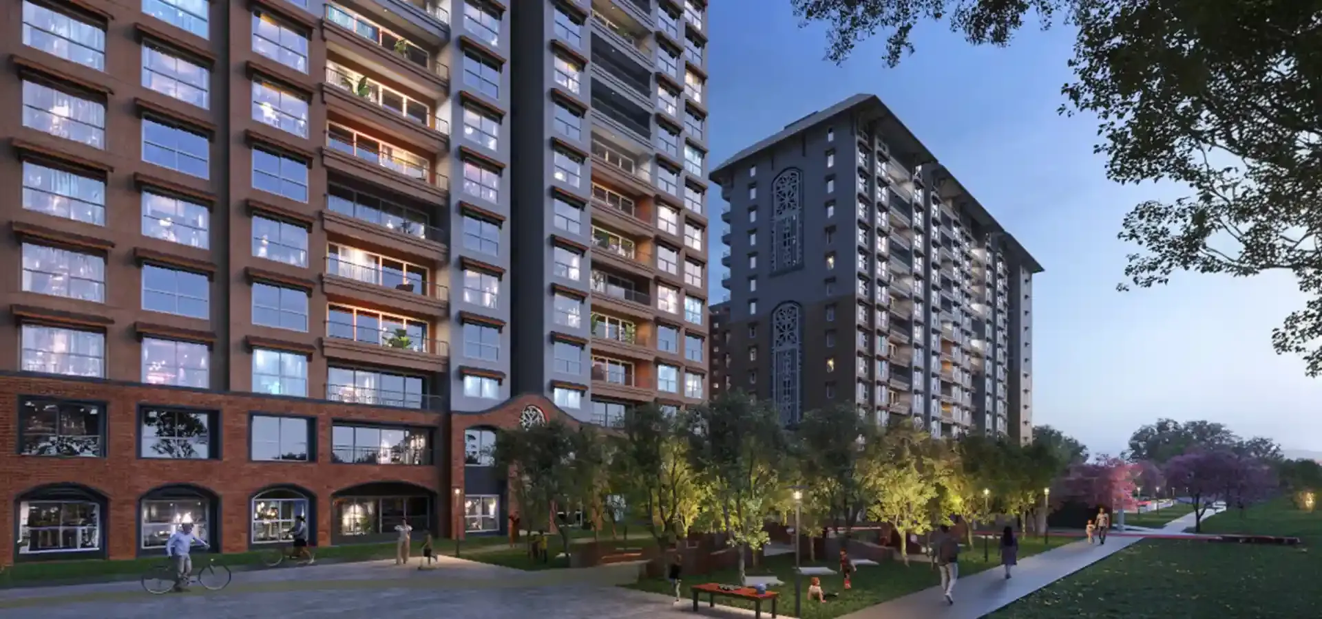
The Godrej MSR City address goes by three names. Maps may show Yerthiganahalli, mail may say Shettigere, and the nearest town is Devanahalli. All three point to the same 62-acre township off Airport Road in North Bengaluru, registered with Karnataka RERA on 1 April 2025. Knowing which name works where saves a wasted drive.
This guide sets out the full address, how to find it on a map, the roads that lead to it, the landmarks around it and the facilities within reach of Godrej MSR City.
Godrej MSR City Address Details
| Detail | Information |
|---|---|
| Project | Godrej MSR City |
| Address | Shettigere, off Airport Road (Bellary Road), Devanahalli, Bengaluru, Karnataka 562157 |
| Map search code | 5MQ4+X5Q, Yerthiganahalli |
| Locality names in use | Shettigere, Yerthiganahalli, Devanahalli |
| Developer | Godrej Properties, in a joint venture with MS Ramaiah Ventures LLP |
| Township size | 62 acres, with a 20-acre green zone |
| Sales enquiries | +91 63668 50754 |
The sales office is part of the project site, so the same address works for a visit. For the sales team's directions and contact options, see the office address and contact details page.
How to Find the Address on a Map
Three search routes work, and each suits a different situation.
| Search term | Best for | What to expect |
|---|---|---|
| Map code 5MQ4+X5Q | Pin-drop navigation on a phone | Drops a pin at the listed location |
| Godrej MSR City, Shettigere | Everyday searches | Shows the project and nearby roads |
| Yerthiganahalli, Bengaluru 562157 | Searching by locality | Shows the surrounding village area |
Drive times depend on where you start. From the airport, the project is about 9 km away, roughly 10 minutes in light traffic. From Hebbal, it is about 23.6 km, and from Yelahanka about 12.6 km. A call before you set out confirms the gate to use.
Road Access to the Address
The project is about 2 km from NH-44 (Bellary Road), which is the spine of the airport corridor. Several routes meet around it.
| Road | What it connects | What it means for a visitor |
|---|---|---|
| NH-44 (Bellary Road) | Hebbal, Yelahanka and the airport | The main approach, about 2 km from the project |
| New Airport Road | The airport and the city | Direct route from the terminals |
| SH 104 | Surrounding towns and the highway | Alternative route for local trips |
| Doddaballapur Road | Doddaballapur and the northern belt | Cross-corridor access |
| NH 648 | Wider regional connections | Link to routes beyond the immediate area |
Peak-hour traffic on NH-44 can stretch the last leg of the journey, so allow extra time on weekday mornings and evenings. The map and location guide shows the road network and landmarks in more detail.
Landmarks Around the Address
| Landmark | Distance | Why it matters |
|---|---|---|
| NH-44 (Bellary Road) | 2 km | Highway access |
| Doddajala Metro Station (Blue Line) | 2.4 km | Future metro station nearest the project |
| KIADB Aerospace Park | 6 km | Closest large employer cluster |
| Devanahalli Tech Park | 6 km | Short commute for IT roles |
| Taj Airport Hotel | 7 km | Hospitality near the airport |
| Prestige Tech Cloud | 7.4 km | Office park within a short drive |
| Kempegowda International Airport | 9 km | Easy airport access |
| IFCI Financial City | 10.1 km | Finance and services jobs |
| Yelahanka | 12.6 km | Nearest established suburb |
| Devanahalli town | 16.7 km | Town centre to the north |
| Manyata Tech Park | 21.2 km | Long daily commute |
The cluster within 10 km belongs to the airport and aerospace belt. The Blue Line had reached about 72% construction by August 2026, according to Business Today, with a phased opening through 2027 expected. See the metro station near Shettigere guide for the route and interchanges.
Essential Facilities Near the Address
Daily facilities sit at moderate distances, with schools and hospitals at 10 km and beyond.
| Category | Options and distance |
|---|---|
| Schools | Stone Hill School (10 km), Sterling English School (12.3 km), Chinmayee Public School (12.6 km), Akash School (13.1 km), Canadian School (14 km), Sunrise International School (14.3 km), Delhi Public School North (15 km) |
| Higher education | Reva University (14 km) |
| Hospitals | The North Bangalore Hospital (7.7 km), Cyte Care and Relive Hospital (11 km), Sparsh Hospital (14 km), Manipal (19 km) |
The nearest hospital is 7.7 km away, and the larger options sit at 11 to 19 km. Families with young children or elderly parents should plan for those distances. The township answers part of the need from inside the gates, with a creche, a senior citizen deck, a pet park, 5 clubhouses, over 60 amenities and 24/7 CCTV with intercom.
What the Address Is Becoming
Shettigere used to be a village on the airport corridor. The area now has a master-planned township at its centre, with 39 towers and 2,563 units across Phase 1 (Barca I, 1,961 units) and Phase 2 (Barca II, 602 units). Phase 3 (Barca III) is in pre-launch with expressions of interest open, and its area, towers, units and pricing are yet to be announced. A tech park and a retail mall are planned within the township, with dates yet to be announced.
Possession is scheduled for December 2030 for Phase 1 and 2031 for Phase 2. Phase 2 3 BHK (2T) units start at ₹1.79 Cr* and 3 BHK (3T) units at ₹1.99 Cr*. The neighbourhood itself, including daily conveniences and growth drivers, is covered in the Shettigere location guide.
Verdict for Visitors and End Users
The address works well for households tied to the airport and aerospace belt, with the highway 2 km away and employment within 6 to 10 km. Plan for 10 to 15 km runs for schools and larger hospitals until the neighbourhood matures. Call ahead before your first visit, since a map pin is only a starting point.
Verdict for Investors
An address on a growing corridor gains value as roads, the metro and employment arrive. The Blue Line, the planned ring roads and the airport belt all point in that direction. The trade-offs are a 2030 to 2031 possession and infrastructure timelines that have slipped before, so this suits a long hold.
Visit the Site
To schedule a site visit, confirm the entry gate or ask about Phase 2 availability and Phase 3, call +91 63668 50754.
Frequently Asked Questions
What is the Godrej MSR City address?
Shettigere, off Airport Road (Bellary Road), Devanahalli, Bengaluru, Karnataka 562157.
What is the map code for Godrej MSR City?
The listed Google Maps code is 5MQ4+X5Q, Yerthiganahalli.
How far is the project from the airport?
About 9 km, roughly a 10-minute drive in normal traffic.
Which highway connects the project?
NH-44 (Bellary Road), about 2 km from the project.
Which metro station is nearest?
Doddajala Metro Station on the Blue Line, about 2.4 km away. The line is under construction.
Is the sales office at the same address?
Yes. The sales office is located at the project site.
Which areas are nearby?
Yelahanka is about 12.6 km away, Devanahalli about 16.7 km and Hebbal about 23.6 km.
What is the possession date?
December 2030 for Phase 1 and 2031 for Phase 2.